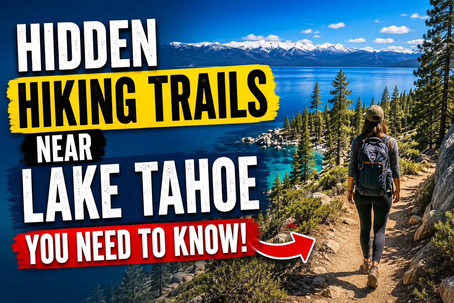
Hidden Hiking Trails Near Lake Tahoe You Need to Know 2026
Lake Let’s be real for a second. The most popular, and probably the most famous, Lake Tahoe hikes people think of are Eagle Falls and the Rubicon Trail. They’re amazing, for sure which is why you need to be prepared for insane crowds on a sunny July Saturday at Eagle Falls where there are not only a few dozen other hikers, but what feels like half the population of California and Nevada on the trail with you.
But don’t despair.
The backcountry of Tahoe is enormous, raw and largely untamed. Having spent years exploring every corner of this basin, leaving the packed lots behind for empty trailheads, I’ve compiled a list of my absolute favorite Lake Tahoe hidden hikes to ensure you feel like you’ve found your own piece of wilderness paradise. These are the kind of hikes where the only noise you hear is the whisper of wind in the trees.
Why You Should Skip the Tourist Trails at Tahoe
Despite having over 15 million visitors each year, most make it to only a handful of sites along the lake’s shoreline. And consequently, many popular trailheads are overloaded, wildlife suffers from stress, and it often feels less like getting away to nature and more like visiting a theme park. Step a mile or two out from these hubs, and the crowds are gone.
The Reality of Tahoe’s Popularity
Tahoe Rim Trail and Pacific Crest Trail are fantastic, but also very popular and tend to be the epicenter for masses. Usage of Tahoe Rim Trail grew 35% from 2019 to 2021! If you’re like me and want some solitude, the trail less traveled, this is a way to connect.
The Hidden Gems Philosophy
Now these trails I’m about to share aren’t technically “secret” from the locals but they are dramatically underrated by the common day-tripper. They’re either slightly harder to get to, or they’re in more out of the way parts of the basin, and that’s why I love them.
Planning Your Hidden Hike Adventure
But before we get lost on the trails, let’s cover the boring part. Safety is key in off-road places, and to travel off road requires a little bit of planning.
Understanding the Terrain and Elevation
Lake Tahoe is already at 6,225 ft, so hiking most of these routes you can expect to get 8,000 or 9,000+ feet higher. Altitude sickness is a thing, drink twice the amount of water you think you should, take your time and easy the first day.
Best Time for Secluded Hikes
The best bet to go for, as you know is in mid-summer, through to the beginning of fall. However, I am a particularly big fan of late June, when the wildflowers really burst, and of late September, as the summer sun dips, and the aspen turns gold. Generally July-October, although early in the season, you can still run into snow on passes.
Essential Gear for Off-the-Grid Hiking
- Don’t let your phone dictate navigation. Save the maps to your phone or better, download offline maps, carry a physical map and compass. You won’t find service in any of the canyons.
- Bear canister: Indeed, you are in bear country. They may not be spotted every day but proper food storage is essential.
- Trekking poles: Some of the canyons have a particularly steep decent or loose scree along the trail. These will spare your knees.
- Sunscreen and layers: It will be scorching in the midday sun, but also breezy in the higher elevations, so bring layers.
The Flume Trail
Alright, alright, I know what you’re saying: “The Flume Trail is a landmark, how can it possibly be hidden?” but stick with me. It may be the land of mountain bikers, but this is a trail many hikers overlook because they assume it’s for the two wheeled set. And they’re wrong.
A Trail Carved into the Cliffs
A narrow, 11-mile, point-to-point ride along Tahoe’s east shore, Flume Trail clinging precariously to a cliffside above the sapphire waters, 1,500 feet below. The Flume is one of the only points in the lake where you can view the whole basin.
How to Hike It
Do the shuttle Instead of suffering back-and-forth, have someone shuttle. You can park at the Spooner Lake side, and have a friend (or a commercial service) drive you to the top of the trailhead. You will slowly descend so you’ll have all the time in the world to take in the scenery. I’ve even hiked it on a Saturday and seen more wildlife than people.
The Hidden Gem of Emerald Bay Vikingsholm to Lower Eagle Falls
Everyone goes to Emerald Bay to take the iconic photo from the overlook. Very few people actually hike down into the bay. Even fewer hike the trail that connects Vikingsholm Castle to a little-known section of Lower Eagle Falls.
The Castle and the Cascade
There’s nearly 500 feet of descent from the parking lot down to Vikingsholm Castle, a 38 room building that seems more like a Scandinavian fortress. The real gems lie beyond the Vikingsholm mansion in the rest of the trail that traces the path of Eagle Creek. Once the castle tour groups head back to their vehicles, the crowd thinning out, follow a less trafficked segment to the lower cascades of Eagle Falls.
Timing is Everything
Come here in the late afternoon. The sun hits the falls at the right angle, and by then, most of the tour buses are gone. The falls roar over granite plates into a private swimming hole full of emerald colored pools. Trailhead: Emerald Bay State Park Overlook Mileange: 2.5 (loop with spur) Skill level: Moderately (a bit steep up and down)
Rubicon Point The Lake’s Deepest Secret
Everyone knows the Rubicon Trail that goes to D.L. Bliss State Park. But the section near Rubicon Point is often overlooked. Why? Because the approach from the west side is tricky to find.
The Deepest Point on the Lake
Lake Tahoe is 1,645 feet deep, and the deepest point is actually near Rubicon Point . There’s a trail that leads down to this exact spot, a quiet cove where the water is impossibly blue and the granite boulders create natural sunbathing spots.
Accessing the Trail
The easiest way to get to this gem is from the parking lot on the other side of the California State Parks access road by Emerald Bay. Do not take the path down toward the lake that leads you onto themaintrail. Instead, find a small, unmarked path heading to the west towards the point.
It is not very long, very steep but rewarded with peace and quiet you will struggle to find on the rest of the lake.
Trailhead: On State Highway 89 near the entrance to Emerald Bay State Park Mileage: 1 mile (round trip) Difficulty: Easy Moderate
Donner Lake Rim Trail
A bit north of Tahoe is Donner Pass and a very cool trail named the Donner Lake Rim Trail offers awesome views of Donner Lake and the peaks above. The section of the Donner Lake Rim Trail along the ridgeline at the top of Donner Pass, very near the pass itself is a trail that’s usually not very busy at all.
A History Lesson on the Trail
Donner Ski Ranch Area This part is notorious for the winter where the Donner Party was stranded in 1846. Now a quiet path between fir and hemlock trees, massive granite slabs poke through the forest.
The Best Section Mt. Judah Loop
Forget the rim trail for this day, take on the Mt. Judah Loop instead. It’s a steep hike up but the views from the top of Donner Lake are totally worth it! The wind on the top is basically year round so a windbreaker is recommended.
Trailhead: Donner Summit, near Boreal Mountain
Miles: 6 miles (loop)
Difficulty: Strenuous
The Secret Coves of the West Shore
Best Hidden Hike near Lake Tahoe for Spots Off the Map For hikers searching for unmarked social trails to secret coves and beaches, head to Lake Tahoe’s west shore near Sugar Pine Point State Park.
Finding the Unmarked Coves
Drive on Highway 89 until you see small dirt pull offs along the roadside between Meeks Bay and Sugar Pine Point. No signs no official trail names. If you look carefully, you will see slight footpaths running downhill through the manzanita towards the water.
A Local’s Best Kept Secret
I discovered this spot by chance years ago. I wanted a secluded place for lunch and found a cove that reminded me of the Greek Islands, except with pine trees. The water is super clear and most of the time you’ll have it to yourself.
Trailhead: Unmarked pull-off on Hwy 89
Mileage: 0.5 to 1 mile
Difficulty: Easy
The Tahoe East Shore Trail
Sure, the East Shore Trail itself is paved and can’t be considered a ‘secret,’ but its side trails (dirt paths that meander down to the hidden beaches and secluded coves south of Sand Harbor) really can.
Beyond the Pavement
It’s just as well the tourists head for the pavement path when on their bikes or strolling around. You just need to cut away from the main path along the dirt tracks to descend down to the lakeshore, which reveals small, stony beaches that are often deserted. I have wasted whole days lazing on a deserted scrap of beach close to Chimney Beach as the water shifted from blue-green to the very deep blues and turquoise.
Best Hidden Cove: Chimney Beach
Named after the remaining stone chimney that served a now bygone homestead, Chimney Beach is an easy stroll down from the paved trail. While technically easily accessed, it’s often overlooked and underdeveloped, since it isn’t visible from the road. Trailhead: East Shore Trail parking lot Mileage: 1 mile (round-trip) Ease: Easy
Mount Tallac The Local’s Favorite Challenger
Towering above the southern shoreline is giant, Mount Tallac. Standing tallest among all peaks in the Tahoe Basin, the climb is an absolute necessity to add to the list of ‘things to do’. Alternatively, there’s another trek to the top that’s significantly less busy than the Cathedral Lake Trail it all depends on where you start on the Glen Alpine Trailhead.
The Less Crowded Ascent
The Desolation Valley trail from Glen Alpine is a tad longer and tougher than the trail starting from the Desolation Valley trailhead a fact that conveniently deterred most people. Desolation Valley hiking takes you through pristine Wilderness Area, past and over creeks and up alpine ridges.
The Reward at the Top
There are no words to describe the vista from the summit which is at 9,735 feet above sea level. You can see all of the Tahoe Basin and even the top of Mount Lassen on a good day. At the summit, there is even a cross.
Trailhead: Glen Alpine Trailhead, South Lake Tahoe
Mileage: 12 miles
Level of Difficulty: Strenuous
The Secret Waterfall Trail
This one is the ultimate hidden gem. There’s a waterfall near Tahoma that doesn’t have a name on most maps. It’s accessed by a trail that starts near the end of a residential street.
The Adventure to Find It
You need to be looking for the little nondescript entrance into the woods between two houses. The first time I tried to go into it I felt like I was on someone’s private land but the road is a public road. You hike through the green, green canyon for about a mile and then you can hear the roar. It is a 40 ft waterfall that tumbles down into a clear blue pool.
Swim in Seclusion
The pool is deep enough for you to swim. It’s cold enough to take your breath in summer but feels like just what the doctor ordered after the trek. Don’t tell anyone.
Trailhead: End of West Lake Boulevard near Tahoma
Mileage: 2 miles roundtrip
Difficulty: Moderate
The Desolation Wilderness Four Lakes Loop
Desolation Wilderness is huge, and most people stick to the trails immediately around Echo Lakes. But venture deeper, towards the Four Lakes Loop, and you’ll find a landscape that feels otherworldly.
Granite, Lakes, and Solitude
This loop climbs up past Lake Aloha, Heather Lake, and Susie Lake. The surrounding area is predominantly exposed granite, with tenacious pines growing from the fissures in the rock. Water in these alpine lakes is incredibly clear, down to 20 feet!
Timing the Route
This hike is for sure a long one, and it would be better as an overnight backpack but as an experienced and fast day hiker it can be accomplished! Start at the Echo Lakes Trailhead as early in the morning as you can before the heat and thunderstorms arrive to have a good day!
Trailhead: Echo Lakes Trailhead
Mileage: 12 Miles (Loop)
Difficulty: Strenuous
Sawtooth Ridge Where the Desert Meets the Lake
To the east side of the lake the landscape changes. The Sierra granite is replaced with volcanic rock, and sagebrush country, more arid. The Sawtooth Ridge can make for an “almost” desert hike.
The Ridge Walk
The trail winds along a ridge that affords you broad views of the lake and the Carson Valley below. This is your sunrise hike. I’ve started at 5 am just to capture that first sliver of light hitting the water to set the sky on fire.
Desert Flowers in Bloom
In spring and early summer, the ridge is painted with flowers, like bitterbrush, lupine, and paintbrush. The vivid color pops in contrast with the rich blue of the lake – a photographer’s heaven.
Trailhead: Kingsbury Grade Road
Mileage: 6 miles round trip
Difficulty: Moderate
The Shoreline Trail A True Off the Beaten Path Loop
The Shoreline Trail at D.L. Bliss State Park is famous, but the extension that heads north toward Emerald Bay is the part that gets overlooked. Most people turn back at the old lighthouse. Don’t.
The Lighthouse and Beyond
The original Rubicon Point Lighthouse the highest elevation lighthouse in the U.S. Is pretty cool. The trail winds through the forest, then it turns towards the lake and gives glimpses of the water between the trees. This part feels a little like a wild hike though you’re just a few miles from the road.
A Hike for All Seasons
The trail is a favorite among fall visitors during the color change, but I’m willing to say I favor it just as much during spring, as the creeks gush down to the lake and provide background music throughout the hike. Trailhead: D.L. Bliss State Park Mileage: 7 miles (loop) Difficulty: moderate
Preserving the Hidden Gems Leave No Trace
But that comes to us in form of hidden treasures, let’s just keep them protected just as we know them as they are undisturbed and wild. You don’t have to be a nature lover to see how much the ecosystem is strained because of a horde of tourists who have now invaded Tahoe.
The 7 Principles of Leave No Trace
- Plan and Prepare Be aware of regulations and weather. Walk and Camp on Durable Surfaces Follow established trails, hike on rock, gravel or snow, not on vegetation. Dispose of All Waste Properly Pack it in and pack it out.
- There is no room for compromise on this rule.
- Leave What You Find Do not collect wild plants, flowers or rocks. Minimize campfire impact Use a stove. Fires are frequently restricted and regulated anyway. Respect Wildlife Give all animals space to forage, hunt or reproduce as needed.
- Do not feed wildlife.
- Be Thoughtful of Other Visitors – Give them a chance to enjoy nature in solitude and to hear its natural sounds.
Final Thoughts The Trail Less Traveled Awaits
I’m the first to admit that there’s something about Lake Tahoe that just takes your breath away, but I believe its magic happens in the hushed whispers, the secretive coves and on the paths you won’t see gracing the glossy pages of those high end lifestyle mags. These 11 Lake Tahoe hikes that fly under the radar are my gift to you. Now go find some yourself. You can bet that the lake will be there.
Click For More : Best Free Camping Spots in Colorado Mountains 2026
Frequently Asked Questions (FAQs)
What is the best hidden hiking trail near Lake Tahoe for beginners?
The unmarked trail to the secret cove on the west shore (Trail #5) is very short and easy, making it perfect for a beginner looking for a secluded beach spot.
Are there any hidden waterfall hikes near Lake Tahoe?
Yes! The Secret Waterfall Trail near Tahoma (Trail #8) leads to a stunning 40 foot waterfall and a deep swimming pool that is rarely crowded.
What months are best for hiking hidden trails at Lake Tahoe?
The prime hiking window is July through October. The snow typically melts by mid July, and the weather is mild. Fall offers fewer crowds and beautiful colors.
Do I need a permit to hike these trails?
Some trails, especially those in Desolation Wilderness, require a day-use permit or overnight permit if you’re backpacking. Check with the Forest Service or State Parks for specific requirements.
Are dogs allowed on these hidden trails?
Many trails in national forests allow dogs on a leash. However, state parks like D.L. Bliss have stricter rules. Always check the specific regulations before you go.
What is the most difficult hidden hike on this list?
Mount Tallac via the Glen Alpine Trailhead is the most strenuous, with a 12 mile round trip and over 3,000 feet of elevation gain.
Can I swim in the hidden cove near Tahoma?
Yes, the pool at the base of the waterfall is deep enough to swim in, but the water is very cold year-round!