
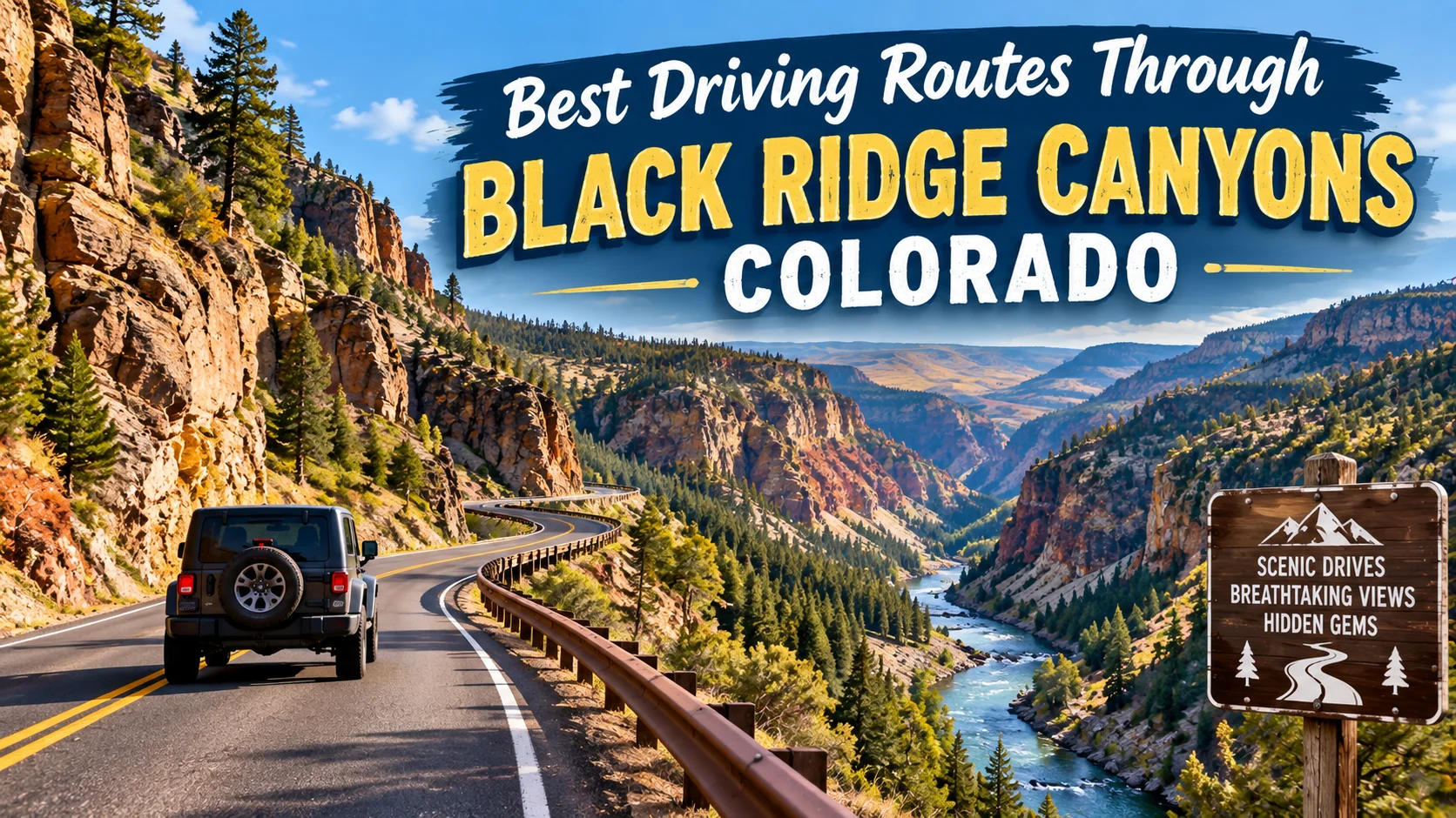
Best Driving Routes Through Black Ridge Canyons Colorado 2026
Best Driving Routes Through Black Ridge Canyons . Want to see arches that rival Utah’s famous parks without the crowds? Black Ridge Canyons Wilderness, tucked just west of Grand Junction, Colorado , might be the most underrated red rock landscape in the American West . This 75,000 acre wilderness area hides the second largest concentration of natural arches in the country , yet most travelers drive right past it on I-70 without ever knowing it exists.
The catch? Getting to the best driving routes through Black Ridge Canyons Colorado requires some planning . You’re not cruising paved highways here . You’re navigating rugged 4×4 roads timed seasonal access and terrain that demands respect . But that’s exactly what makes it special . Let me break down everything you need to know to plan this adventure like a local.
What Exactly Is Black Ridge Canyons Wilderness?
Before we dive into routes, let’s get oriented . Black Ridge Canyons Wilderness spans 75,439 acres along the Colorado Utah border , with a small portion crossing into Utah . It’s managed by the Bureau of Land Management and forms part of the McInnis Canyons National Conservation Area.
The landscape is dramatic . An east west ridge splits seven major red rock canyons, each carved with spires, windows , giant alcoves and that distinctive desert patina that makes Colorado’s high desert so photogenic . Mule deer, mountain lions , desert bighorn sheep and golden eagles all call this place home.
The crown jewel? Rattlesnake Canyon , which contains nine natural arches the second highest concentration in the United States after Arches National Park . But unlike its famous neighbor and you might have these arches entirely to yourself.
Best Driving Routes Through Black Ridge Canyons
Here’s where things get interesting . There are two primary driving routes that provide motorized access to the Rattlesnake Arches trailheads and they operate on a seasonal rotation.
Upper Black Ridge Road (April 15 – August 15)
The Upper Road winds roughly 13 miles from the Glade Park area to the upper trailhead . This route takes you through Colorado National Monument first , which means you’ll pay the park entrance fee unless you’re just passing through.
Key details:
- Distance from trailhead junction : About 10.5 miles on 4WD road to the trailhead
- Vehicle requirement : High clearance 4×4 mandatory for the last 1.5–2 miles
- Access: Enter through Colorado National Monument from Fruita or Grand Junction
Lower Black Ridge Road (August 15 – February 15)
The Lower Road offers a similar distance roughly 11 miles to the trailhead area. It tends to be the preferred winter option when conditions allow.
Critical seasonal closure : Both roads close to motorized travel from February 15 to April 15. This protects the fragile desert soils during the wettest months. Biking, hiking and horseback riding are still allowed on the roads during closure.
Route 1: The Classic Rattlesnake Arches Approach
This is the drive most people are looking for the one that leads to those stunning sandstone arches. Best Driving Routes Through Black Ridge Canyons .
Starting point : Grand Junction or Fruita
The route :
- Take I-70 west to Fruita Exit 19
- Turn left cross back over I-70 and follow signs toward Colorado National Monument
- Drive 11 miles from the CNM entrance station
- Turn right at the Glade Park Store turnoff sign
- After 0.2 miles, you’ll reach the Black Ridge Access Roads junction
The 4×4 section : The final 1.5–2 miles are where things get spicy . You’ll encounter steep grades, loose rock and narrow sections that demand careful tire placement. If the road looks wet , do not attempt it. The bentonite clay in this soil turns slick and impassable when wet.
Pro tip : Even if you have a capable vehicle, consider parking at one of the day use spots before the worst sections and hiking the remaining distance. It adds maybe a mile but saves your nerves and your undercarriage. Best Driving Routes Through Black Ridge Canyons .
What You’ll Find at the Trailhead
Once you reach the Upper Trailhead (elevation 5,800 feet), you have options:
- Lower Rattlesnake Arches Trail : 6.4 miles round trip, passes six major arches
- First Arch Overlook : 0.5-mile spur trail overlooking Rainbow Arch
- Full Arch Loop : Combining upper and lower trails for maximum arch exposure
The arches themselves have names worth knowing: Hole in the Bridge Arch (30-foot span) Akiti Arch (40-foot span 120 feet above the canyon floor) Eye Arch Twin Arches and Rainbow Arch (nearly 80-foot span) . Rainbow Arch also goes by “Trail Arch” because intrepid hikers can actually climb through it though it’s steep and dangerous. Best Driving Routes Through Black Ridge Canyons .
Route 2: The Colorado National Monument Scenic Loop
Even if you’re not heading into the wilderness, the drive through Colorado National Monument is worth the trip on its own. Rim Rock Drive is 23 miles of some of the most spectacular scenery in Colorado and it serves as the gateway to Black Ridge access.
Why it matters for your Black Ridge trip : This is how you get to the Upper Road. You’ll drive through the monument, exit at the southwest corner, and veer onto Black Ridge Road.
Rim Rock Drive Highlights
- 23 miles of red rock canyons and monoliths
- 19 signed viewpoints along the route
- Three tunnels carved through sandstone in the 1930s
- CCC stonework from the Great Depression era
Driving time : Allow 2–4 hours if you stop at viewpoints and take short walks. Without stops, the drive takes 45 minutes to an hour. Best Driving Routes Through Black Ridge Canyons .
Best direction : West to east is slightly easier for nervous drivers, as your vehicle stays further from cliff edges on most sections. Best Driving Routes Through Black Ridge Canyons .
Cost : $25 per passenger vehicle for a 7-day pass. If you’re just passing through to access Black Ridge, mention that at the entrance station you may not need to pay if you’re not stopping in the monument.
Route 3: The Knowles and Jones Canyon Approach
If you’re looking for a different flavor of Black Ridge Canyons less arches, more solitude consider the northern access routes. Best Driving Routes Through Black Ridge Canyons .
Directions from Grand Junction:
- Travel west on Grand Avenue
- Cross two bridges, turn left on Monument Road
- Turn left on “D” Road
- Follow to the fork, go left on Little Park Road
- Continue to DS Road, take left to Glade Park Store
- Turn right on 16.5 Road, go 0.5 miles to BS Road
- Turn left it’s 12 miles to Knowles Canyon trailhead
- Continue 2.5 more miles to the Jones Canyon trailhead (locked gate at end of public road)
What’s here : These trails offer canyon hiking without the arch crowds. The terrain is similar red rock, pinyon-juniper, and deep silence. Best Driving Routes Through Black Ridge Canyons .
Essential Gear and Preparation for Black Ridge Canyons
This isn’t a casual Sunday drive. The Black Ridge roads demand preparation.
Vehicle Requirements
| Road Section | Vehicle Needed |
|---|---|
| Rim Rock Drive | Any vehicle |
| Black Ridge Road (most) | High-clearance recommended |
| Final 1.5–2 miles | High clearance 4×4 required |
Spare tire : Bring one. The roads are rocky and sharp.
Fuel : Fill up in Grand Junction or Fruita before heading out. There’s nothing out there.
Navigation : Download offline maps. There’s no GPS and no cell signal in the wilderness area.
What to Pack
- Water : At least 1 gallon per person. There’s no water source
- Sun protection : Hat, sunscreen, sunglasses. Shade is scarce.
- Sturdy hiking boots: The trails are rocky and uneven
- Snacks : High energy food for the trail
- Map and compass : Don’t rely solely on your phone
- First aid kit : You’re a long way from help
Best Times to Visit
Spring (April–May) and Fall (September–October) are ideal. Temperatures are moderate, and spring runoff can create ephemeral waterfalls in the canyons.
Summer: Brutally hot. If you go, start at dawn and be off the trail by noon. Little to no shade exists. Best Driving Routes Through Black Ridge Canyons .
Winter: The roads close February 15–April 15. Outside that window, check conditions—ice and snow can persist in shaded areas. Best Driving Routes Through Black Ridge Canyons .
Practical Tips from Someone Who’s Been There
Tip 1: Respect the wet road warning. That “do not drive when wet” sign isn’t a suggestion. The clay soil becomes incredibly slick and you will get stuck. Wait it out or turn around.
Tip 2: Go on a weekday. Even on Memorial Day weekend, hikers report seeing only about 10 other people on the trail. Weekdays are even quieter. Best Driving Routes Through Black Ridge Canyons .
Tip 3: The Upper Trail has the best arch views from below. Start with the Lower Trail for dramatic upward views of the arches, then take the Upper Trail for perspective from above if you have energy.
Tip 4: The final 2 miles are the hardest. If you’re not confident in your 4×4 skills, park before the worst section. The extra hike is worth it.
Tip 5: Bring more water than you think you need. The desert here is dry, and the elevation (5,800+ feet) means you dehydrate faster than you expect.
Tip 6: Leave No Trace. This is a designated Wilderness Area. Pack out everything you pack in. Stay on trails. Don’t stack rocks or build cairns. Best Driving Routes Through Black Ridge Canyons .
Beyond the Drive : Other Ways to Experience Black Ridge
If 4×4 roads aren’t your thing, you still have options.
Float the Colorado River : Calm water float trips through Ruby Canyon offer a different perspective on the Black Ridge canyons. You’ll see the canyon walls from below and you can access Rattlesnake Canyon via a steep game trail from the river (for experienced hikers only).
Hike from the Colorado River : The Pollock Bench Trailhead is accessible without high clearance vehicles. From there, you can hike into the canyon system though it’s a longer, more strenuous approach.
Black Ridge Trail : This 11-mile roundtrip trail in Colorado National Monument follows the park’s highest ridge, offering views west into Utah’s canyon country.
Also Check : How to Save Money on Mackinac Island Ferry Tickets 2026
The Bottom Line: Is the Black Ridge Drive Worth It?
Absolutely if you’re prepared. Best Driving Routes Through Black Ridge Canyons .
This isn’t a drive you do casually. The roads are rough, the navigation is tricky, and the consequences of poor preparation are real . But that’s precisely what keeps the crowds away. While hundreds of people crowd into Arches National Park every day, you might have Rattlesnake Canyon’s nine arches entirely to yourself.
The second-largest collection of natural arches in the United States. The “mini Grand Canyon” of western Colorado . A wilderness area where you can walk across natural stone bridges and see maybe two other people all day. Best Driving Routes Through Black Ridge Canyons .
That’s worth a rough road and a little planning.
Your Turn
Have you driven the Black Ridge roads? Found a hidden gem I missed? Drop a comment below and share your experience I’d love to hear from fellow desert rats.
If this guide helped you plan your adventure share it with a friend who’s been talking about a Colorado road trip . The hidden gems are always better when shared. Best Driving Routes Through Black Ridge Canyons .
Frequently Asked Questions (FAQ)
Do I really need a 4×4 for Black Ridge Canyons?
Yes, for the final 1.5–2 miles to the Rattlesnake Arches trailhead . The road has steep grades and loose rock that will damage a low clearance vehicle. Most of the road is manageable with high clearance, but that final section is serious.
When do the Black Ridge access roads close?
Both Upper and Lower roads close to motorized travel from February 15 to April 15. The Upper Road is open April 15–August 15 and the Lower Road is open August 15–February 15.
How long does the drive to the Rattlesnake Arches trailhead take?
From Grand Junction, plan for 1.5–2 hours to reach the trailhead. That includes the drive through Colorado National Monument and the slow, careful 4×4 section.
Can I drive Black Ridge roads when they’re wet?
No. The bentonite clay soil becomes slick and impassable. If the road looks wet, turn around and come back another day.
How many arches will I see at Rattlesnake Canyon?
The trail passes six to seven major arches including Hole in the Bridge Akita (Centennial) Eye, Twin and Rainbow Arch . The canyon contains nine arches total.
Is there a fee to drive through Colorado National Monument?
Yes $25 per passenger vehicle for a 7-day pass. However if you’re just passing through to access Black Ridge without stopping mention that at the entrance.
What’s the best time of year to visit?
Spring (April–May) and Fall (September–October) offer the best temperatures. Summer is extremely hot with no shade.
Are dogs allowed on the trails?
Dogs are not allowed on trails in Colorado National Monument. In the Black Ridge Wilderness, dogs are generally allowed but must be leashed and you must pack out waste.
Can I camp in Black Ridge Canyons?
Primitive camping is allowed in the Wilderness Area. There are no facilities. Follow Leave No Trace principles.
What should I do if I get stuck or lost?
There’s no cell service in the area. This is why preparation matters. Tell someone your plans before you go. Bring a spare tire, extra water and a paper map. If you get stuck, stay with your vehicle.



2 Comments